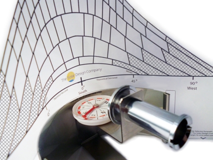
A sunpath indicator which offers an aid to the MCS shading method. With our exclusive MCS-aid transparent acetate foil, the Solar Site Selector helps to analyse and minimise shading.
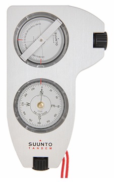
The Suunto PM-5 and Tandem are rugged and durable inclinometers for measuring roof pitch angles safely from either the ground or loft. They are especially useful for situations where it is impractical or perhaps impossible to gain access to the roof to measure the pitch.